Mini Case Study
Creating a
tourist information
hub for Wightlink
Scroll to explore
The Problem
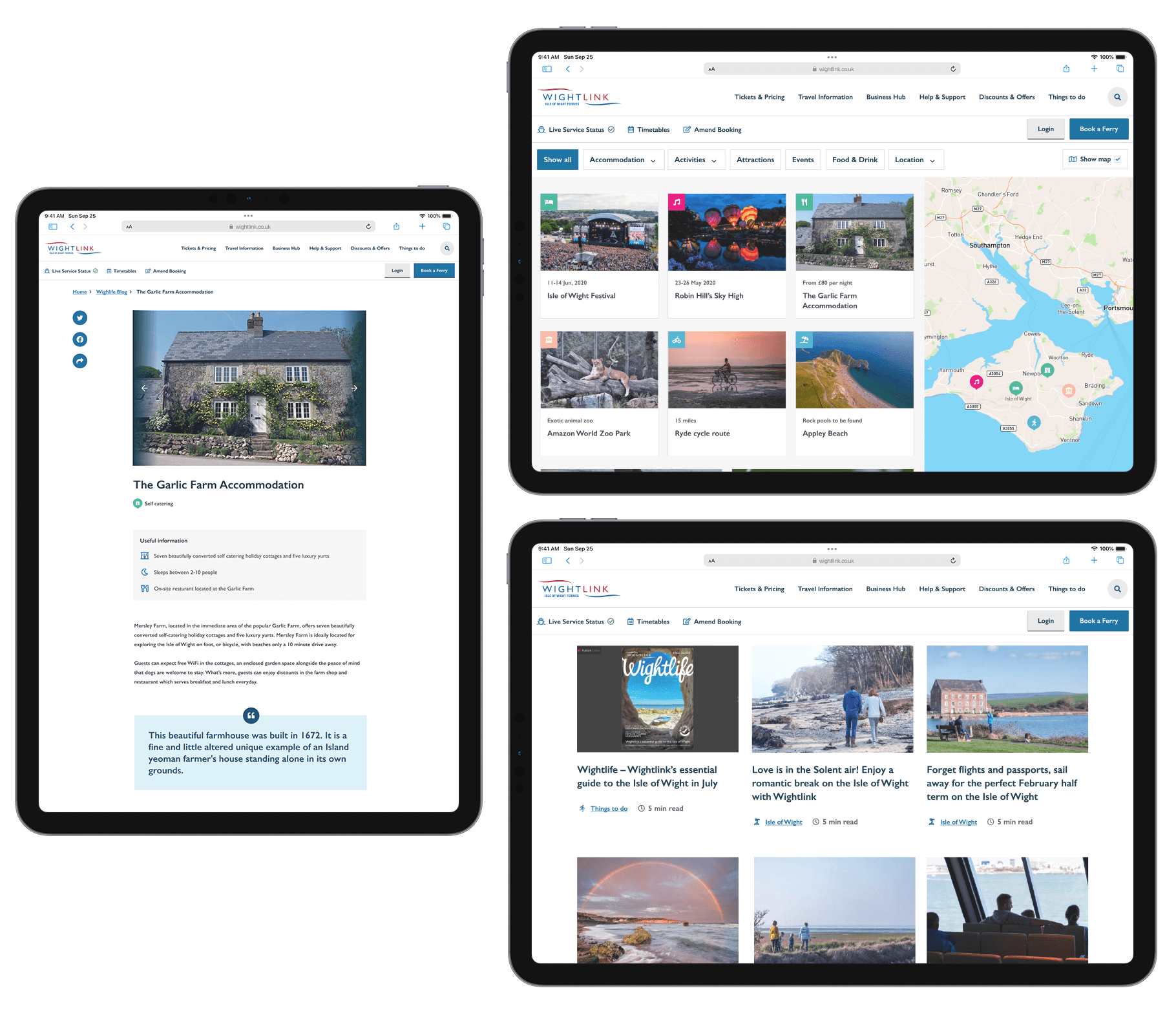
Tourist information, such as what’s on, where to eat, accommodation and activities, was posted across Wightlink’s then website in an inconsistent and hard-to-find way.
Our previous research indicated many travellers to the Isle of Wight didn’t know about the range of things available on the Island.
The Solution
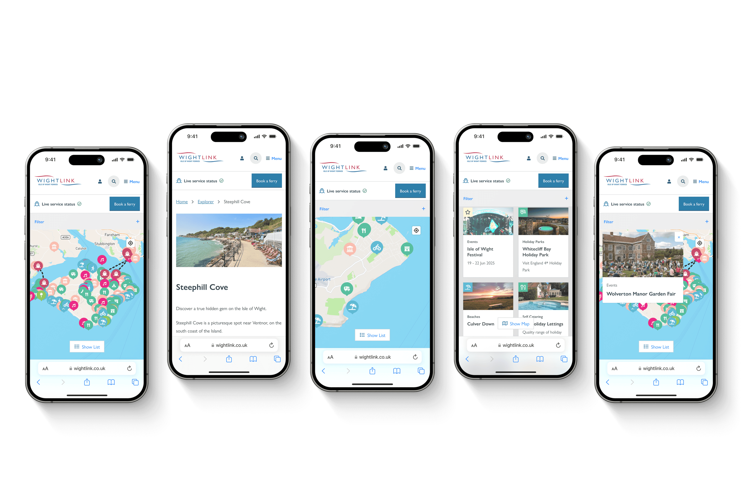
We developed an interactive map - Wightlink Explorer - featuring places of interest on the Isle of Wight. Users can filter by category and proximity. Zooming and panning on the interactive map filters down and hides the listings displayed. If a map marker is no longer visible on the map, the corresponding card will no longer be displayed, making the results clear and relevant.
We also implemented geolocation to display the user’s current location, making the Wightlink Explorer an incredibly useful tool for users when they are on the Island. A feature which encourages repeat visits to the website.
The Results
The Wightlink Explorer enables passengers to better plan their trip, provides greater context of what’s on and where to stay. Our solution exceeded the brief of bringing together tourist information, educating customers and encouraging them to make bookings.
It continues to be one of the most visited and shared parts of the entire Wightlink website.
Book a consultation
Has this mini case study whetted your appetite? If you've got a technical challenge you need an elegant solution for then why not arrange a consultation?
Share
|